PROTOTYPES
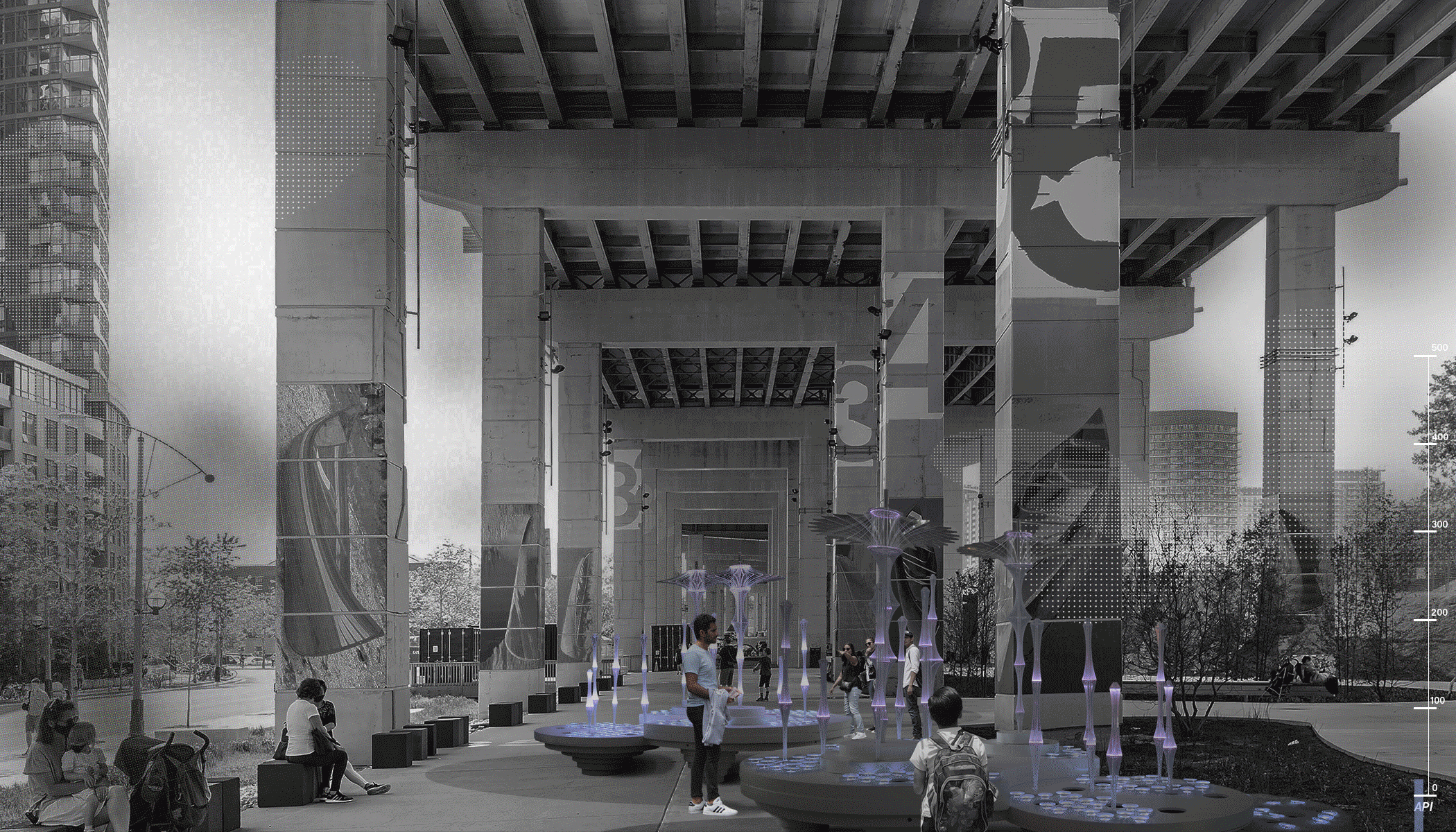
“Networked Public Space” (NPS) is an assemblage of public space design, open-source sensing technologies, and community engagement strategies, which collectively seeks to make urban environmental data more accessible, meaningful, and actionable for local communities. While data can facilitate more responsive urban design and systems, sensor-based data collection remains difficult to integrate into community-centered planning practice in part because the technologies of sensing and the use of the data remain invisible, privacy-abusing, and potentially alienating to many communities.
Therefore, NPS emphasizes the visible, perceivable manifestation of environmental conditions and technologies in the built environment and online. NPS is a system, comprised of infrastructure and architecture, that can interface with the hardware and networks of the putative “smart city.” However, its open source, scalable, accessible, readily observable, and flexible qualities are inherently geared towards deployment by communities generally excluded from top-down urban technological practices.
In this way, NPS provides an alternative path to private-public dominance in emerging public spaces, putting data, analysis, and meaning generation into more tactical and democratic contexts.
ECOLOGY OF TYPOLOGIES

INVENTORY OF SOFTWARE AND TECHNOLOGY

PAST PROTOTYPES


FORM FINDING AND COMPOSITION


FABRICATION PROCESS

Image by Darcy Engle

Image by Darcy Engle

Image by Tom Daly
Image by Darcy Engle
INVENTORY OF TYPES

INVENTORY OF TYPES


INVENTORY OF TYPES

INVENTORY OF TYPES
OSTENDA ILLUMINATA

Image by Tom Daly

Image by Tom Daly

Image by Tom Daly
Image by Tom Daly